Kyoto & Lake Biwa Cycling Route – Rider Stories
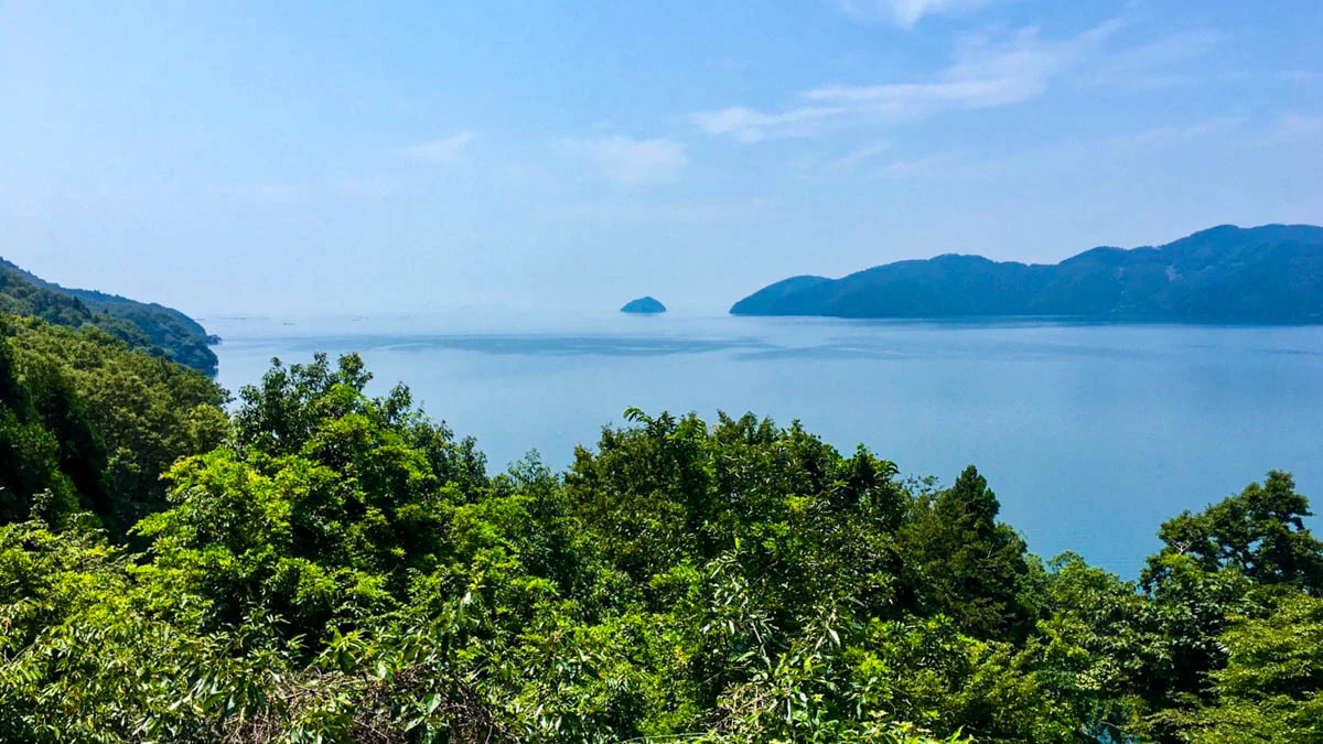
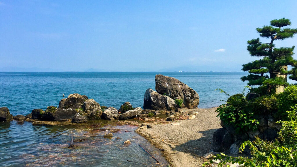
Avec ses pistes cyclables au bord de l'eau, ses routes de montagne accidentées dans le nord, ses nombreuses zones de baignade, ses paysages époustouflants, ses sanctuaires et bien d'autres choses encore, le lac Biwa offre un peu de tout pour les cyclistes.
이미지 제공: 앤디 펜
Itinéraire
218km에서 대부분의 사람들은 2-3 일에 걸쳐이 작업을 수행하지만 라이더는 다른 아이디어를 가지고있었습니다. 치솟는 여름 기온 속에서 Andy는 엄청난 노력을 기울여 하루 만에 모든 것을 마무리했습니다.
Distance: 218km
Élévation: 1,184m
Accès depuis la ville de Kyoto: Good
Cycliste
앤디 펜
Andy was in Kyoto for a short time during his trip and wanted to get out on the bike to tackle the Lake Biwa route. He had climbed Mt Fuji only a few days before but that didn’t seem to slow him down.
Strava profile >
도시를 떠나다
The route starts at the Kamo river which flows from north to south through Kyoto. It doesn’t matter where in Kyoto you start from, simply head to the Kamo river then start cycling north.
데마치야나기 강 갈라짐에서 오른쪽 길을 따라 4블록 안에 오른쪽에 있는 미카게 도리를 타세요.
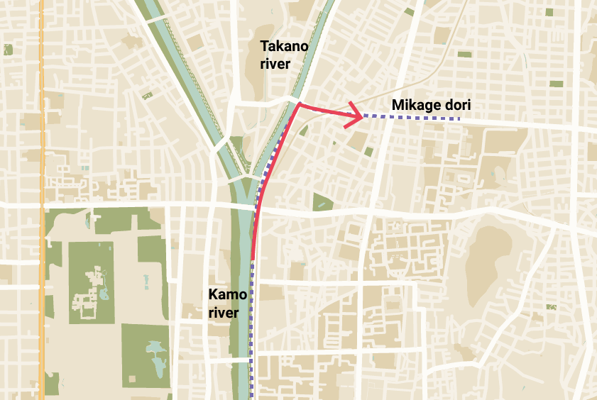
미카게 도리에서 히에이 산까지
교토 동쪽에서 비와코로 가는 방법은 몇 가지가 있지만, 1번 국도와 30번 국도로 갈라지는 산조 도리가 가장 인기 있는 진입로입니다.
30번 국도는 교토에서 두 번째로 높은 산인 히에이 산 등반의 일부를 차지하며 호수의 좋은 고도와 전망을 제공합니다.
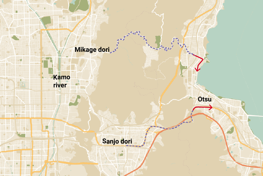
30번 국도는 산조역에서 불과 6km 거리에 산기슭이 있는 도시 외곽의 급행 차선이기도 하므로 교토 마을과 교외에 작별 인사를 할 수 있습니다.
After winding through the mountain along the Shigagoe-michi (#30) for 5km or so, you’ll start getting a glimpse of the lake as you descend into Yanagasaki, which is the town on the lake.
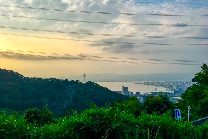
비와코 루프 (비와이치)
From Yanagasaki you’ve got around 185km to get around and back to the intersection where the #161 meets the #30 which will take you back through the mountains to Kyoto.
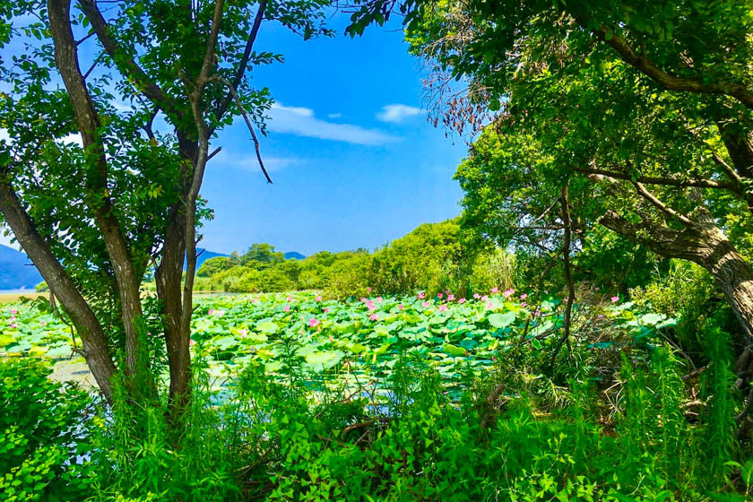
1일, 2일 또는 3일
Generally riders do the Lake Biwa loop over one, two or three days. If you are new to cycling or still building up your fitness we recommend doing it over two or three days.
한 가지 명심해야 할 점은 일몰 후 호수의 일부 지역이 극도로 어두워져 적절한 조명과 장비 없이는 사이클링이 약간 위험하다는 것입니다.
여유를 갖고 하루 동안 목적지에 도착하여 잘 얻은 음료, 식사 및 이상적으로는 온천에 몸을 담그십시오.
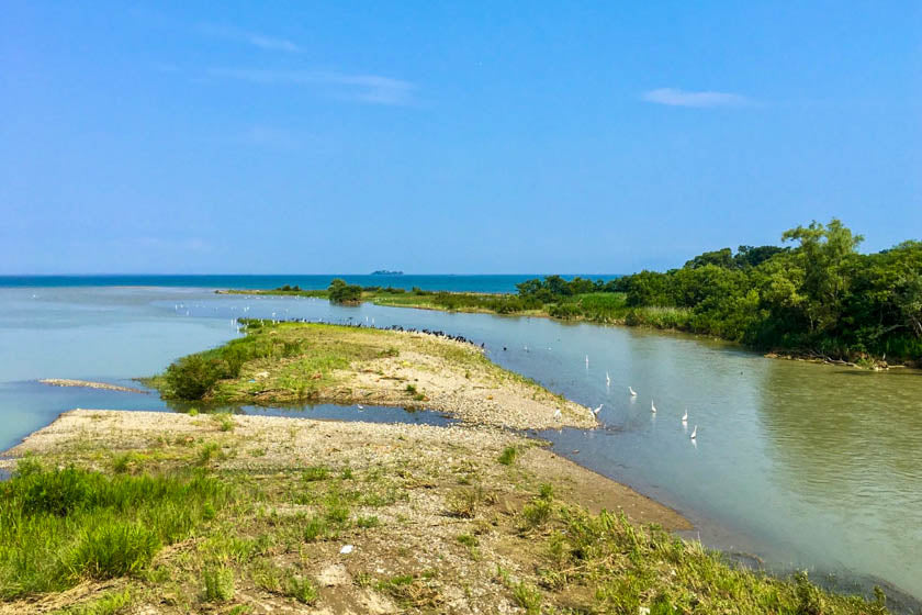
마키노
하룻밤을 묵는다면 북서쪽에 위치한 마키노는 수영, 수상 액티비티, 북쪽 언덕으로의 접근성이 좋은 아름다운 작은 마을입니다.
북쪽의 산은 꽤 인상적이며 북쪽으로 일본해와 남쪽으로 호수 너머로 멋진 풍경을 연출합니다.
The landscape is pretty rugged and it really does feel like you’re a world away from the commotion of Kyoto and Otsu.
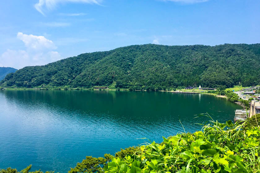
방향
어느 방향이 가장 좋은지에 대해서는 약간의 논쟁이 있지만, 대부분의 사람들은 호수를 왼쪽에 두고 반시계 방향으로 루프를 돌며 라이딩을 합니다. 하지만 이렇게 할 때 강한 맞바람이 불 수 있으므로 시계 방향으로 타는 것을 선호하는 분들도 있습니다.
As you make your way around the Lake, you’ll have the option of riding the Fast path or the Slower path. The fastest paths mean cycling on the main roads, and the lakeside paths are a bit slower and more enjoyable.
Élévation
호수 주변의 라이딩 코스는 북쪽의 산이 갑자기 솟아나 멋진 전망과 라이딩을 제공하는 것을 제외하고는 대부분 평평합니다.
The climbing on this route is at the start and the end when going through the Mt Hiei range. The incline gets up to 13-14% and after riding 200km, we’re pretty impressed Andy got up and over the mountain again on his return to Kyoto.
명소
성, 호숫가 마을, 험준한 산길, 신사, 사원 등이 있는 놀이기구에는 볼거리가 많습니다. 명소에 대한 자세한 내용은 아래 링크에서 시가 비와코 관광 명소를 참조하십시오.
Dernières réflexions
비와호는 자전거로 탐험하기에 환상적인 곳입니다. 교토, 오사카, 나라와 가깝지만 북쪽에는 외딴 지역이있어 마치 세상과 다른 곳에있는 것처럼 느껴집니다.
In warm weather the lake is great for swimming giving ample opportunities to have a break from pedaling to cool off in the fresh water.
공업 지역인 오츠와 같이 교통량이 많은 지역도 있지만, 이는 전체 주행 중 극히 일부에 불과합니다. 점점 나아지고 있다는 사실만 기억하세요.
This route definitely deserves some consideration when planning your cycling routes through Kansai.
Bon cyclisme !
Vous appréciez le contenu ? Remerciez-les en leur offrant un café.
